Utsukushigahara Highlands
A scenic spot known as the "Alpine Viewpoint," located at an elevation of 2,000 meters
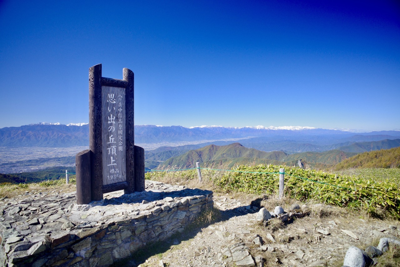
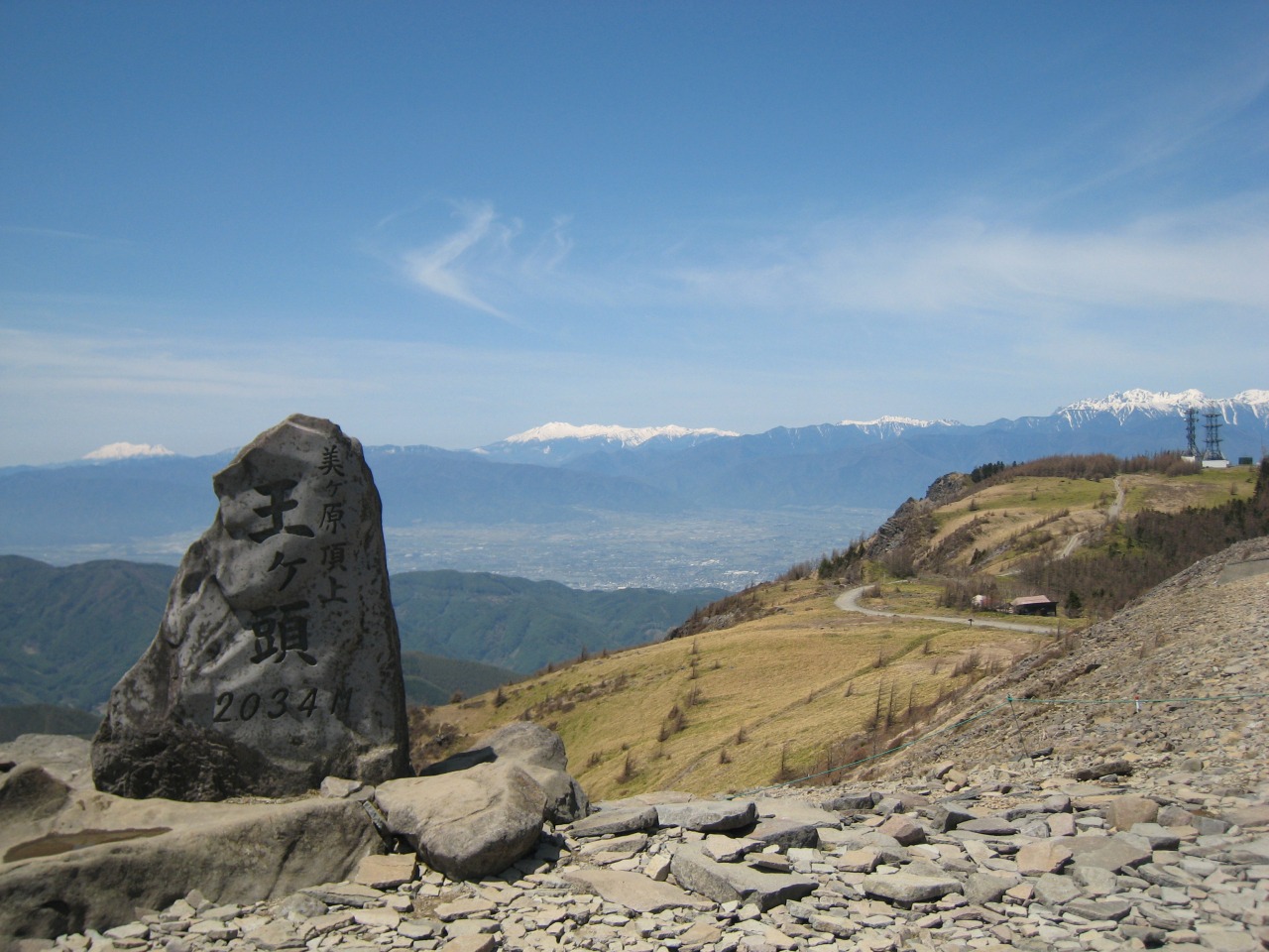
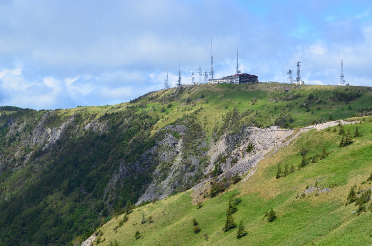
The Utsukushigahara Plateau spans Matsumoto City, Ueda City, and Nagawa Town. It is Japan’s largest plateau, stretching across an area of approximately 2,000 meters in elevation and encompassing peaks such as Ouga-tou —one of Japan’s 100 Famous Mountains—as well as Oga-hana, Chausu-yama, and Ushibuse-yama.
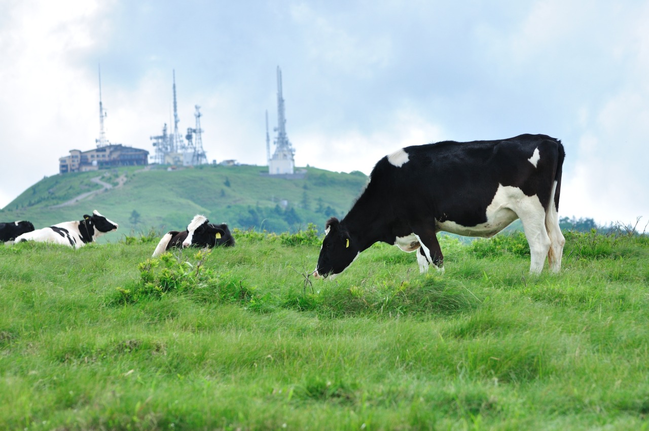
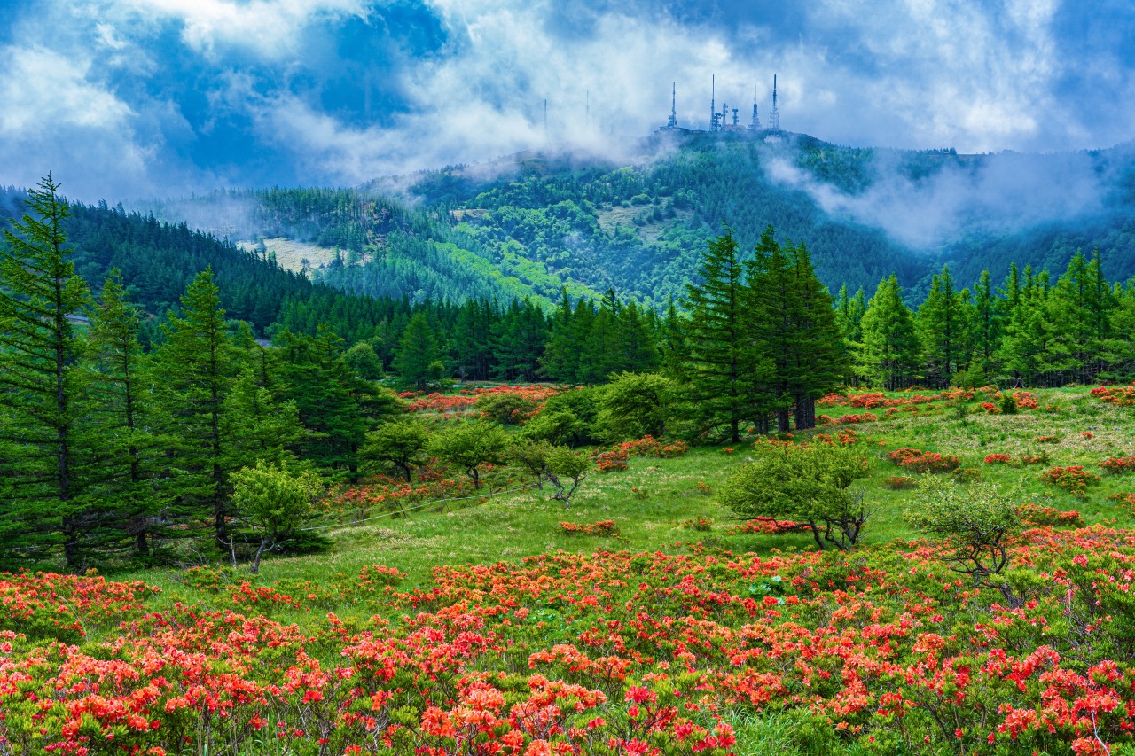
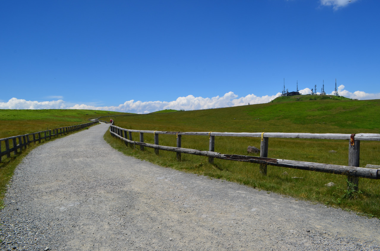
In summer, grazing cattle leisurely munch on the grass while delicate flowers sway in the breeze. From the highest peak, Ouga-tou (2,034 m), you can enjoy a view worthy of the name “Alpine Observation Deck,” overlooking not only the Northern Alps but also Mount Asama, the Southern Alps range, Mount Fuji, and approximately 40 other mountains from Japan’s 100 Famous Mountains.
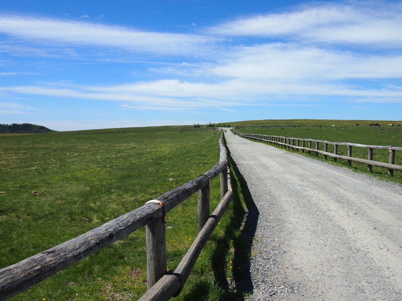
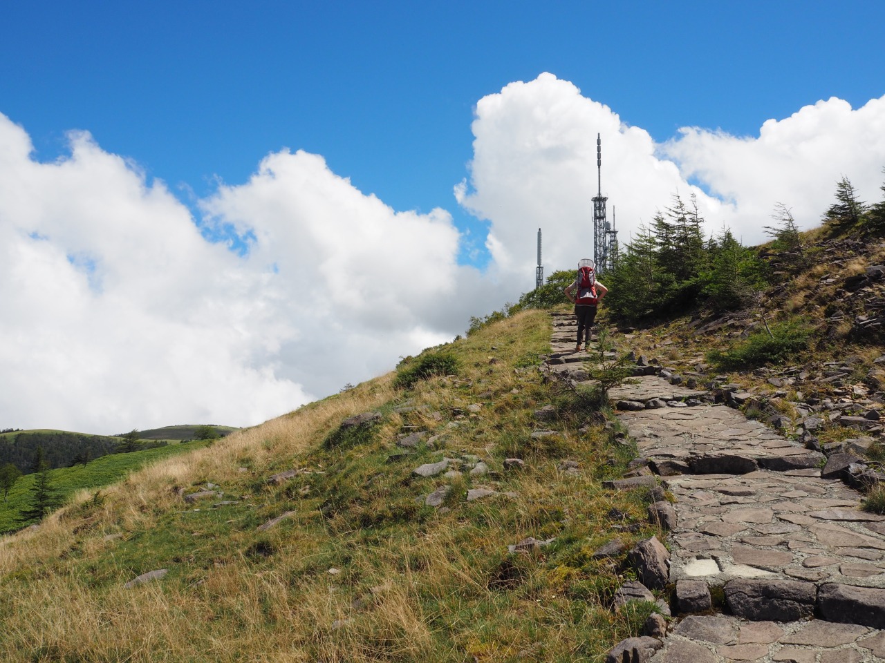
From strolling along walking paths to serious trekking, there are activities to suit every level of experience. The Utsukushigahara Highlands Long Trail, completed in 2012 with a total length of approximately 45 km, connects the peaks and offers a variety of routes.
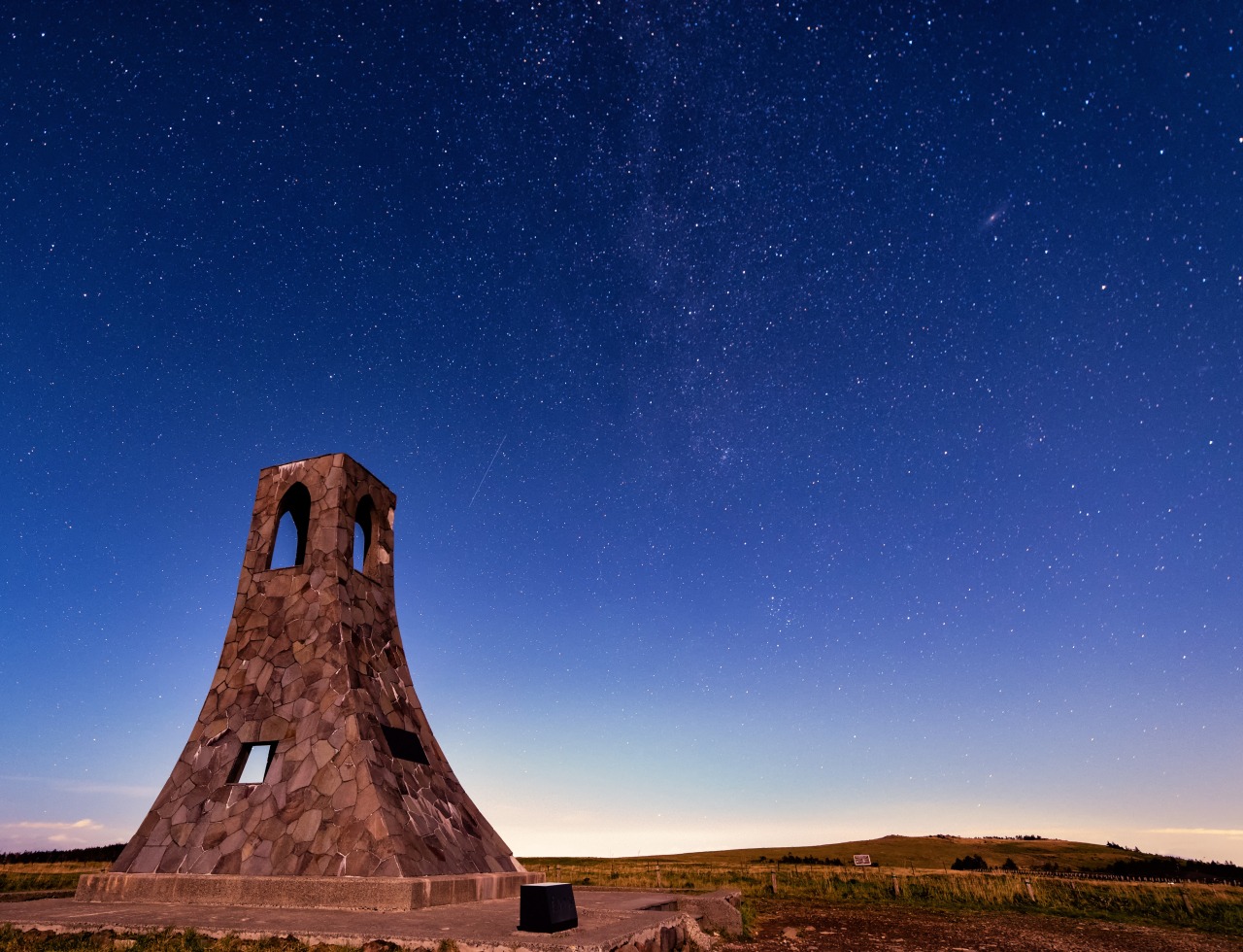
The "Utsukushi Tower," built as an emergency beacon to alert hikers to its location by ringing a bell when fog rolls in, is the symbol of the Utsukushigahara Highlands.
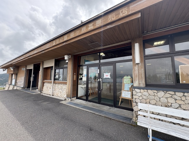
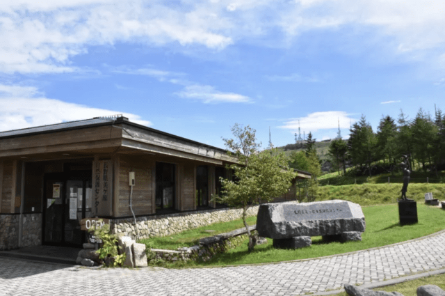
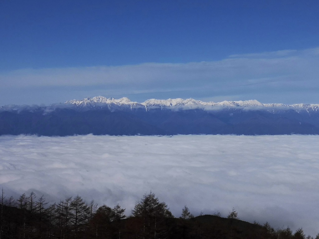
Depending on the weather, you can see a sea of clouds in the early morning—a truly breathtaking sight. At the shop (Utsukushi Terrace) near the parking lot and at the Ouga-tou Hotel, you can enjoy soft-serve ice cream while taking in the highland scenery.
We invite you to experience the beauty of the majestic mountains and the flower-filled highlands.
[Important Notes]
・Travel between the Utsukushigahara Nature Conservation Center and Ouga-tou on the Matsumoto City side, and the Utsukushigahara Plateau Art Museum on the Ueda City side is on foot only and takes 2 hours one way. If you are driving to the Utsukushigahara Plateau Art Museum, please use the Venus Line.
・During the winter season, typically from late November to late April, the roads leading to the Utsukushigahara Highlands are closed. However, the only accessible route is via Prefectural Road 178 from the Nagawa Town side, leading to the Nagawa Town-operated parking lot (the terminus).
Information
- Address
- Iriyama-be, Matsumoto City, Nagano
- Access (Car)
- Approximately 75 minutes from Matsumoto IC
(Utsukushigahara Nature Conservation Center / Utsukushi Terrace Parking Lot) - Access (Public Transportation)
- Take the direct bus to Utsukushigahara Highlands (reservation required) from the Alps Exit of Matsumoto Station and get off at the Utsukushigahara Nature Conservation Center. The ride takes about 75 minutes.
(Summer only) - Website
- Notes
The route via the Utsukushigahara Skyline (Matsumoto Station–Lake Misuzu–Nature Conservation Center [Terminus]) and the route via the Azalea Line (Matsumoto Station–Tobira Pass [where it joins the Venus Line]) are not connected; therefore, it is not possible to drive from the Nature Conservation Center side through the plateau to the Utsukushigahara Art Museum.
*Note: Business hours and closures are subject to change.